 Русский
  Spanish
  日本語
日本語  Italiano
  Ελληνικά
  Deutsch
  French
  English
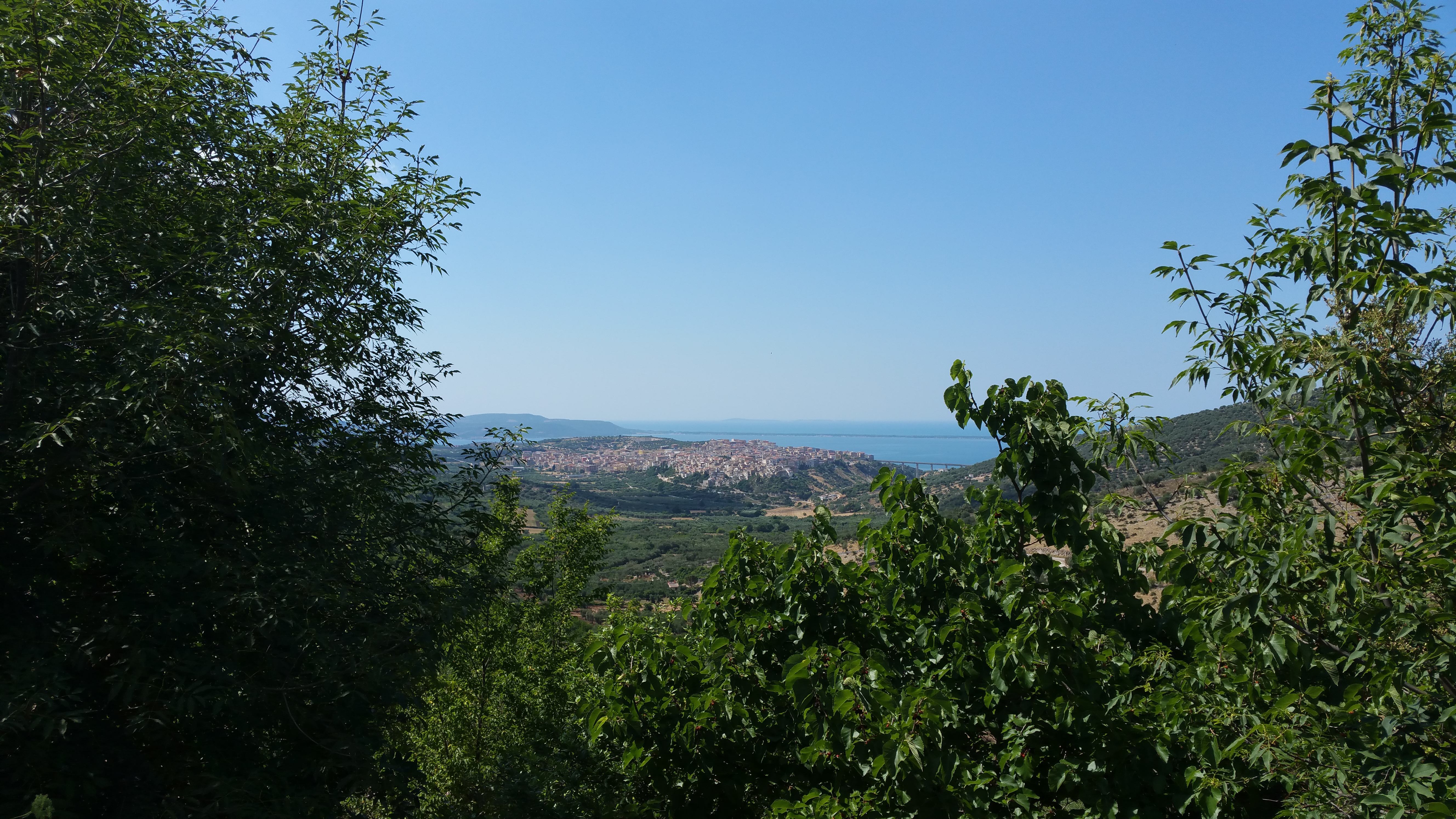
The Gargano national park is a national park established by law n. 394 of 6 December 1991. The territory (118,144 ha) is located in Puglia and precisely in the extreme north-eastern part, often defined as the "Spur of Italy", entirely in the Province of Foggia, with the Park Authority located in Monte Sant'Angelo.
Territory
Map of the Gargano national park
It extends for 118,144 hectares (it is one of the largest Italian protected areas). The four Tremiti islands (marine reserve) are part of the park. Inside the park there is the Umbra Forest.
The Gargano is mainly made up of sedimentary rocks, limestones and dolomites, dating back to the Cretaceous and Jurassic periods, mostly stratified and affected by the phenomenon of karst dissolution. An exception is Punta Pietre Nere, a mass of dark volcanic rocks dating back to the Triassic, emerging on the beach of Lesina. The karst phenomenon, produced by the action of water and carbon dioxide on the limestone rocks, has "sculpted" the landscape in various ways.
Along the entire margin of the limestone block there are large erosive furrows which, with a radial trend, head towards the sea or the Capitanata. These are rocky gorges (linked to the phenomenon of "dry valleys" or "valleys"), caused by mechanical and karst erosion.
Karst
The Dolina Pozzatina
Among the countless manifestations of karst there are the over 4000 sinkholes that dot the Gargano territory, closed basins produced by the collapse of the vault of underground caves and by the erosive action of the waters that communicate with the underlying water table.
The Pozzatina sinkhole, more than 100 meters deep and with a diameter of about 500, is the largest in Europe (the sinkhole is part of the municipality of San Nicandro Garganico). The countless furrowed fields and outcropping rocks marked by rainwater runoff can be traced back to the surface karstification process. The existence of more than 600 caves, many of which are of archaeological interest (inhabited from the Paleolithic to the Bronze Age), can be traced back to the deep karstification process. Added to these are the 128 sea caves, which initially originated as underground phenomena and were subsequently exposed as a result of the demolition of the limestone by wave motion. Until the eighteenth century there was also a karst lake, but then the obstacles to the flow were blown up with explosives and the riverbed completely dried up.
As regards permeability, the following are distinguished:
Rocks permeable due to karstification mainly due to the karst phenomenon initiated by the cracks of the irregularly stratified white organogenic limestones and subvertical fractures.
Rocks with mixed permeability due to cracking and karstification which manifests itself in dolomites and gray dolomitic limestones with flints.
The soils of the Gargano, originating from the degradation of limestone rocks, are:
brown soils, with a high moisture content, on dolomitic substrate and paleogene limestones (especially in the medium-upper part of the forest). They correspond to the so-called Mediterranean brown lands of the mesophilic forest with A-B-C profile where the A horizon has molliform humus and the B shows a significant enrichment of clay;
decalcified Mediterranean red soils, with a thin A horizon and a powerful B horizon with a multifaceted structure, which are found in the lowest part.
Hydrography
Lake Varano
On the Gargano promontory the river environment is completely absent and there is no real surface hydrographic network. An exception is a small area to the north, where the few watercourses of limited length and flow are concentrated, mostly tributaries of the lagoons of Lesina and Varano, two bodies of brackish water with a total surface area of approximately 11,000 ha.
The underground hydrography, however, is very rich: the widespread diffusion of karst phenomena causes the immediate infiltration of 3/4 of the precipitation. The distribution of rocks with different degrees and types of permeability determines the presence of two very distinct aquifer systems of which one (main aquifer) occupies the entire promontory and the other (secondary aquifer) is limited to the Vico area and Ischitella.[3]
Two lagoons located in the north-western part and a small lake in the southern sector are part of the Park:
Lake Lesina, 24.4 km long and 2.4 km wide, has a perimeter of almost 50 km and is in all respects a lagoon. It is divided into two basins: a smaller one overlooked by the homonymous municipality of Lesina and a longer one called Sacca Orientale. The lagoon banks are slightly inclined, the bottom is generally muddy and regular, giving an average depth of 70 cm (it is by far the shallowest lagoon);
Lake Varano is the largest in southern Italy (60.5 km²). Generally trapezoidal in shape, it is separated from the sea by a 10 km long strip of land. It is fed by numerous underwater freshwater springs that flow from the nearby mountains of Cagnano Varano. Famous for eel fishing, in ancient times the lake must have been an inlet whose mouth was closed by a strong sea storm that submerged the city of Varano.
Lake Salso (5.5 km²), located near Manfredonia and fed by the Cervaro river, is characterized by its fresh waters. The lake area, due to its great importance in the field of biodiversity, is part of the Salso Lake Oasis, managed in collaboration with WWF Italy.[5]
Common
The Park affects 18 municipalities distributed in the province of Foggia:
islands: Tremiti Islands
coastal: Mattinata, Peschici, Rodi Garganico, Manfredonia, Vieste
interior with important coastal hamlets (indicated in brackets): Ischitella (Foce Varano), Vico del Gargano (San Menaio), Lesina (Marina di Lesina), San Nicandro Garganico (Torre Mileto), Cagnano Varano (Capojale)
interior and foothills: Apricena (foothills), Carpino (inland), Monte Sant'Angelo (inland), Rignano Garganico (inland but with part of the territory falling in the foothill area), San Giovanni Rotondo (inland but with part of the territory falling in the piedmont area), San Marco in Lamis (inland but with part of the territory falling in the piedmont area), Serracapriola (piedmont)